Remote Sensing for Land Survey Applications |
|
Creating efficiencies and reducing costs for large project areas. |


|
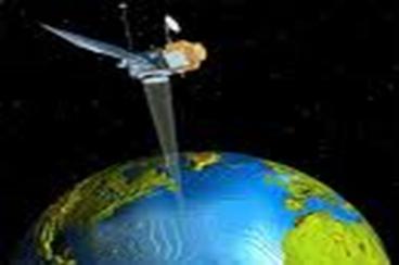
Image courtesy of kidsgeo.com |
|
Remote Sensing |
|
Remote sensing is any technology that can be used to create maps, without having to physically touch the territory being described. These remote sensing technologies are often attached to platforms such as planes, satellites, balloons, kites or even elevated structures. |
|
Web page design by: Jeffrey Dotolo Graduate Student Fall Semester, 2010 |
|
Web page designed as part of the requirements for Introduction to Remote Sensing, GGR 909, Salem State Geography Department, Salem, Massachusetts, USA. |