This web page was designed as an assignment. It is geared for ocean kayakers that are looking for web sites to aid in planning paddle trips that will be influenced by environmental conditions and need to view the areas. Ocean Kayaking is increasingly popular for coastal explorations, camping, cruising and bird watching as well as being good exercise. It is easy to learn for all ages and abilities.
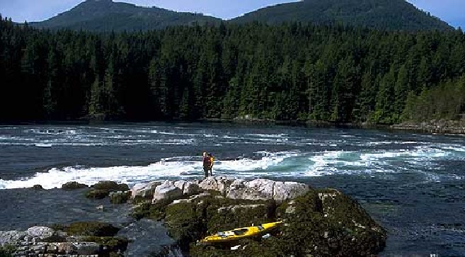
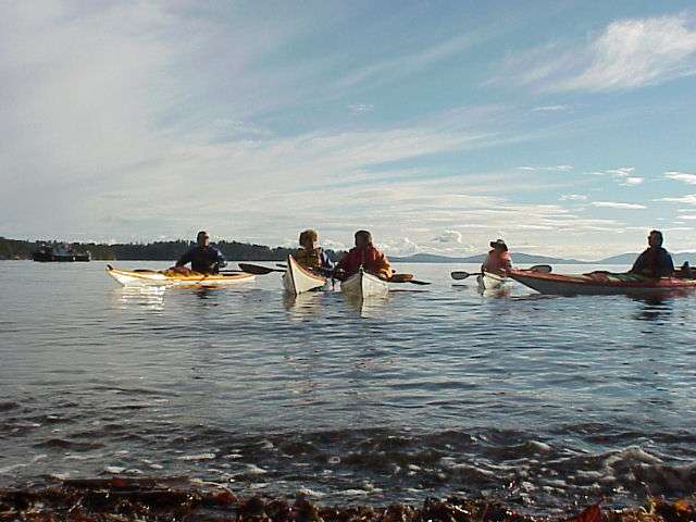
The ocean kayaker who has advanced to extended paddle trips out of the local harbor has need of information obtained through remote sensing. The kayaker must have a knowledge of the area to be covered, as well as being aware of currents, winds, waves, weather and temperatures of both air and the water. This knowledge allows for planning types of gear and for knowing if the conditions that will be encountered are within the safety and abilities range of the participants. Trip postponement may even be the best choice. Remote sensing tools such as satellites, radar and aerial photography are able to provide the current and accurate information that is needed to minimize risks and help ensure a fun paddle trip.

 Cloud cover, GOES Satellite
A wealth of information is available from satellites such as, NOAA’s HRPT a polar orbiting satellite and the geostationary satellites GOES 8 & 10. They provide visible, infrared and topographical data used in applications for weather forecasts and environmental conditions. The Quikscat satellite has NASA’s seawinds instrument on board which is able to measure speed and direction of surface winds in all weather conditions with a fine spatial resolution and is updated 2 times a day.
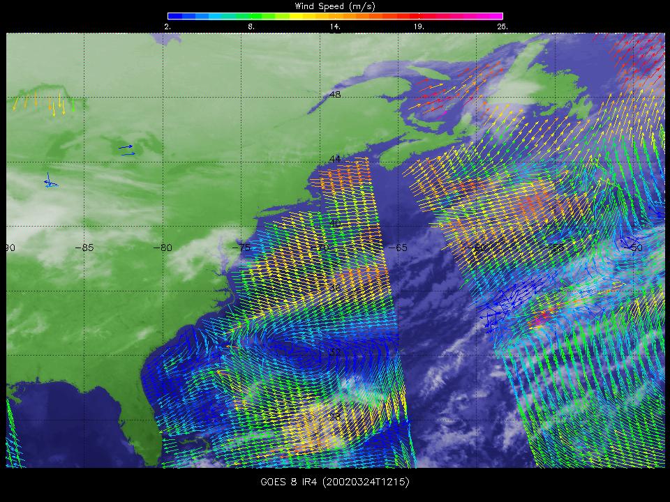 Image of ocean winds
NOAA’s Advanced Very High Resolution Radiometer is on a sun-synchronous polar orbiting satellite and provides imagery on sea surface temperatures utilizing visible, near infrared and thermal infrared images. These images are found on the goMOOS web site with updates 4-6 times per day.
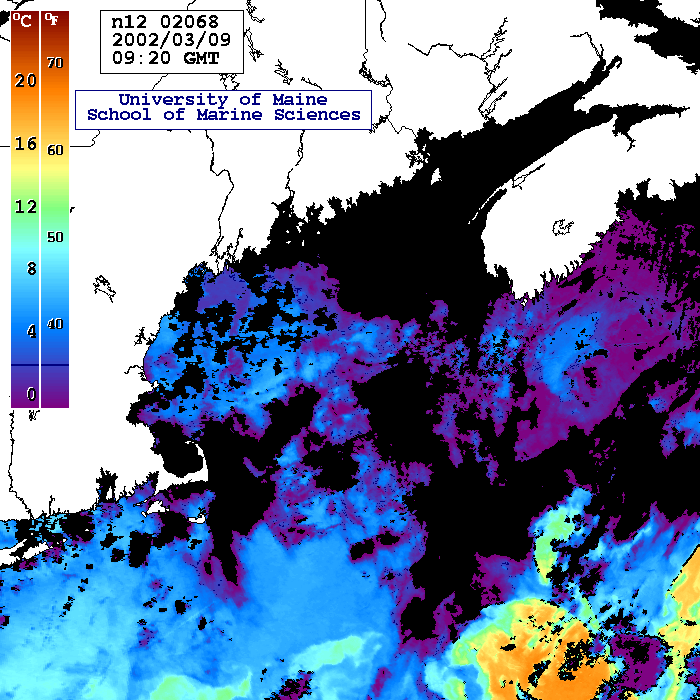 Image of sea surface temperatures
Aerial photography such as that found on Mapquest, NOAA and the Army Corps of Engineers’ sites show coastline detail. As well as providing topographical maps to aid in visual orientation and trip planning. Radar and buoy data as found on goMoos web site provide information from sensors located closer to the land and water surface. This information is sometimes combined with satellite data and provides details on waves, currents, tides, fog and precipitation.
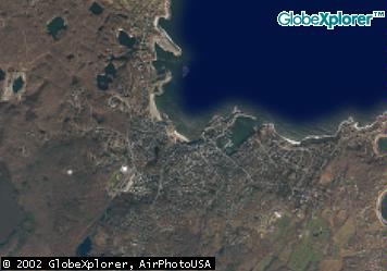
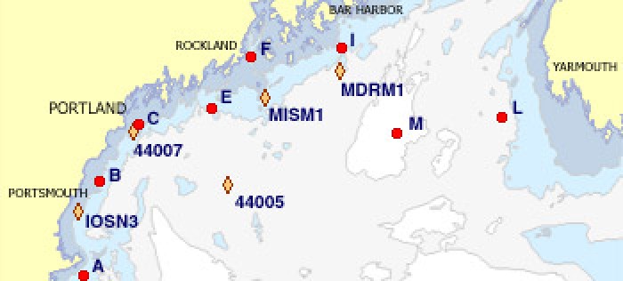
Aerial Photo Buoys
Personal Information: I am a Dental Hygienist with a love of the outdoors and am finishing up a degree incorporating environmental sciences. A few years ago I started Ocean Kayaking on short trips with friends and purchased my own kayak last year. I am looking forward to doing some extended trips this season am started thinking about what I would want and need to know before setting out. Things such as what the coastline looks like, weather, temperatures and wave conditions among others. The remote sensing class opened up a high-tech way to access that information. I hope this website will be helpful for other paddlers in the same manner for trip planning and general links. Also the local kayak shops are invaluable. See you on the water! My email is epsirdh@cs.com.