Sources
of Information used on this page
|
IMAGERY |
 |
Landsat 7 Infared | ||
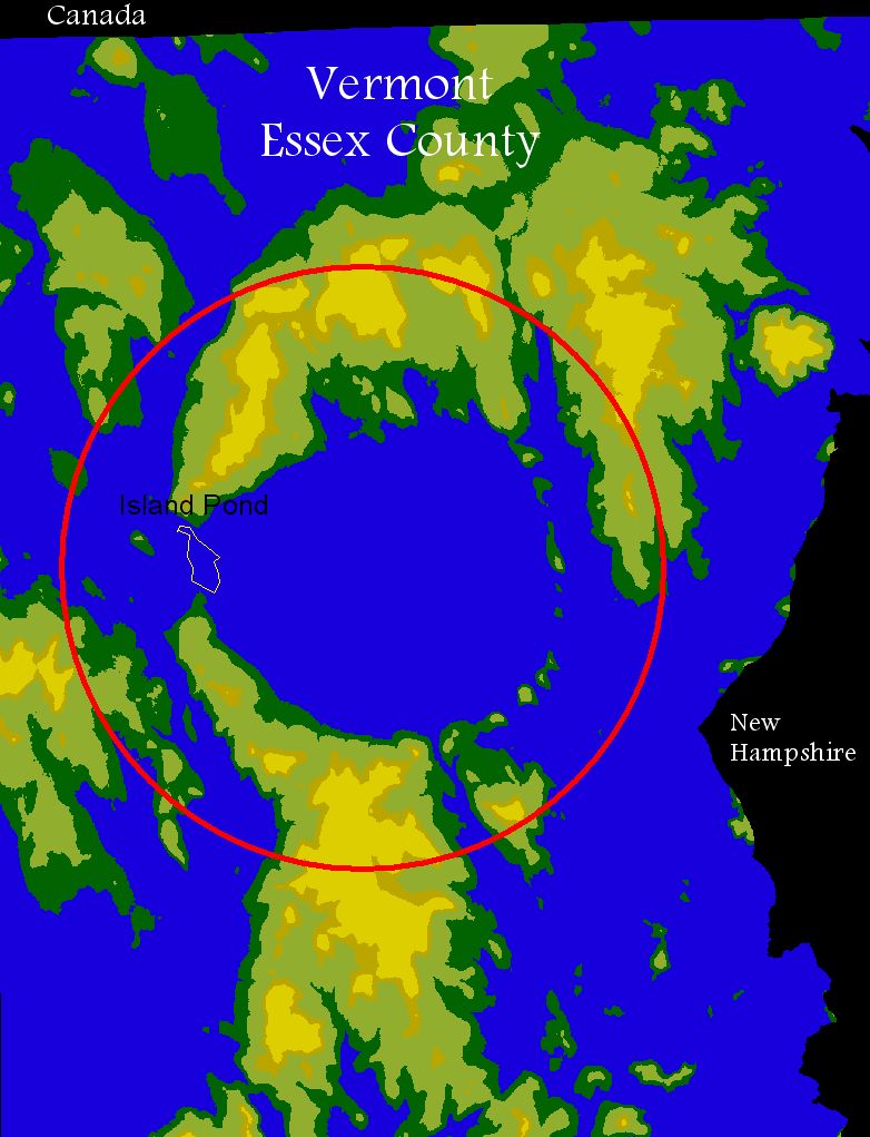
| Gray relief map | 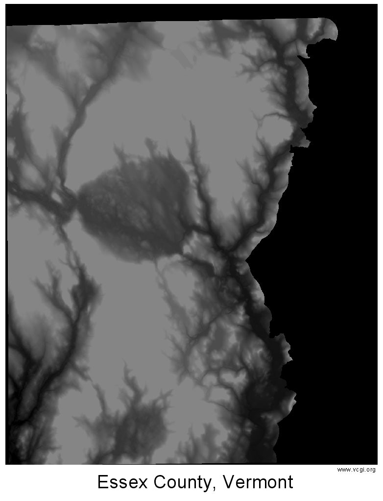 |
||
 |
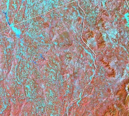
Landsat 4-5 TM True Color | ||
| Landsat 7 color |  |
||
 |
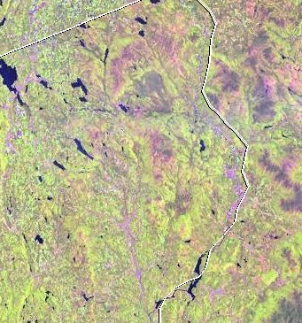
Landsat 4-5 TM color | ||
| Landsat 7 CInfrared | 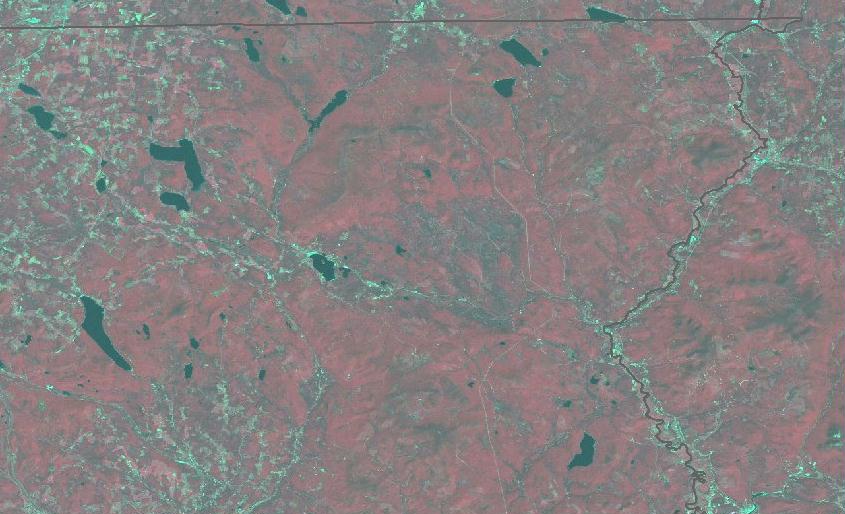 |
||
|
MAPS |
 |
Topo map east | ||
| Topo map west |  |
||
 |
Bedrock map | ||
| Shadded Relief map |  |
||
 |
Water Level map | ||
| Digital Elevation Model |  |
||
|
INFORMATION |
|
MRLC Project: http://ceos.cnes.fr:8100/cdrom-00b2/ceos1/satellit/landsat7/mrlc.htm
|