Using Remote Sensing To Find
A Terrestrial Crater
| Landsat ETM + (Color) | Landsat TM |
| Land Sat TM (MRLC) | Gray Level Contrast |
| Landsat ETM+ (Infrared) |
| Bedrock | DEM |
| Topo, west | Water level map |
| Topo, east | Shaded Relief |
| Geography Links |
| Informative Links |
| Miscellaneous |
| Imagery |
| Maps |
| Information |
|
|
The purpose of this web page is to show the possible discovery of a new terrestrial impact crater and by using remotely sensed imagery, as well as maps, to find a crater and determine if it can and should be verified. I have compiled on this page a few interesting images and maps all of which strongly advance the possibility of an impact crater site.
Satellites provide a unique point of view of the Earths surface and make it possible to see and discover new information about the Earth which has never been previously possible. Sensors on the satellite can pick up more information than is possible to see with the human eye such as infrered and ultra- violet.
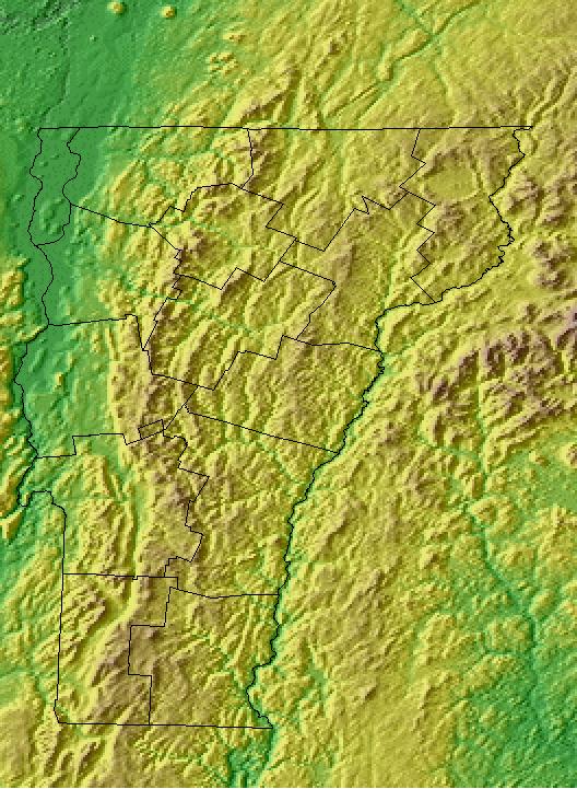
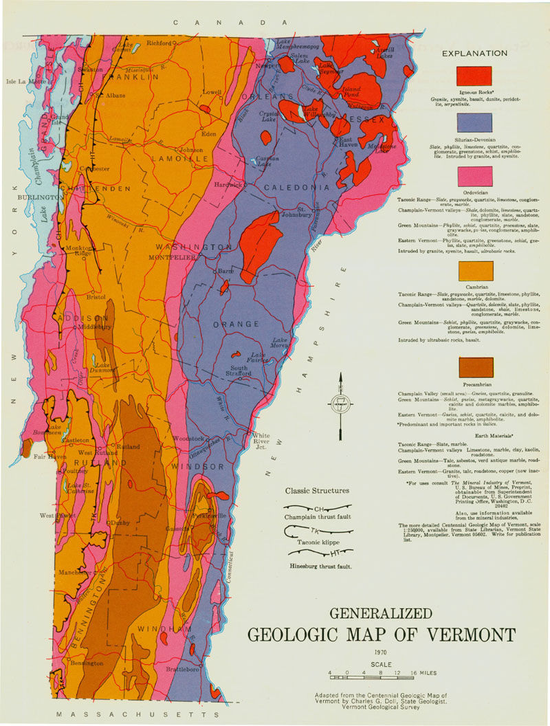
The area of question is the Nulhegan Basin area in North Eastern Vermont. The main towns in the area which fall within the ring are: Island Pond (Brighton), Bloomfield, Lewis, Ferdinand, and Brunswick. The circular disruption along the Green Mountains in that area make it stand out quite well. Today the Nulhegan Basin is primarily a marshy wooded area with many state protected bogs and parks.
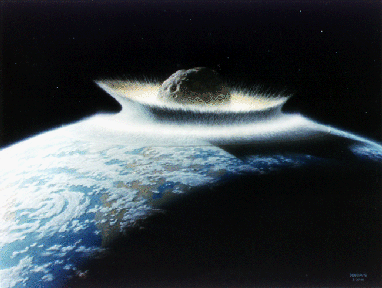
Only in the past 30 to 40 years we have begun to understand our relationship to our home planet and the rest of the solar system. Impact cratering was seen previously as a trivial occurrence, but we are finding that it is a fundamental force in the creation of planets, their evolution, and even a guiding force in biological evolution. Impact craters can even be of major economic potential as ore deposits, for petroleum exploration.
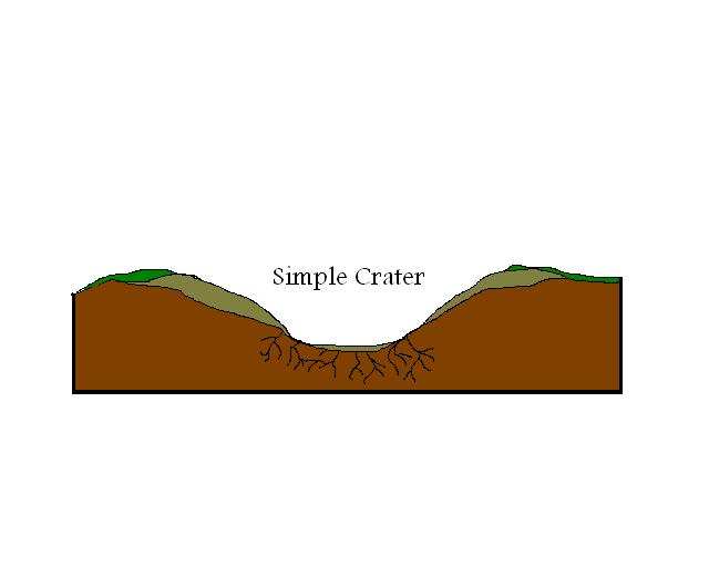
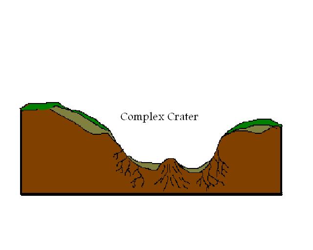
The record of impact on the Earth is still partially incomplete. The number of sites positively identified sits around 120- 150, ranging in size from small simple craters just around a kilometer wide to huge usually complex craters of up to 200 kilometers in extent. The Chicxulub impact structure is 200 km in diameter and has been linked to the mass extinctions of the dinosaurs and many other types of flora and fauna 65 million years ago.
|
|
|
|