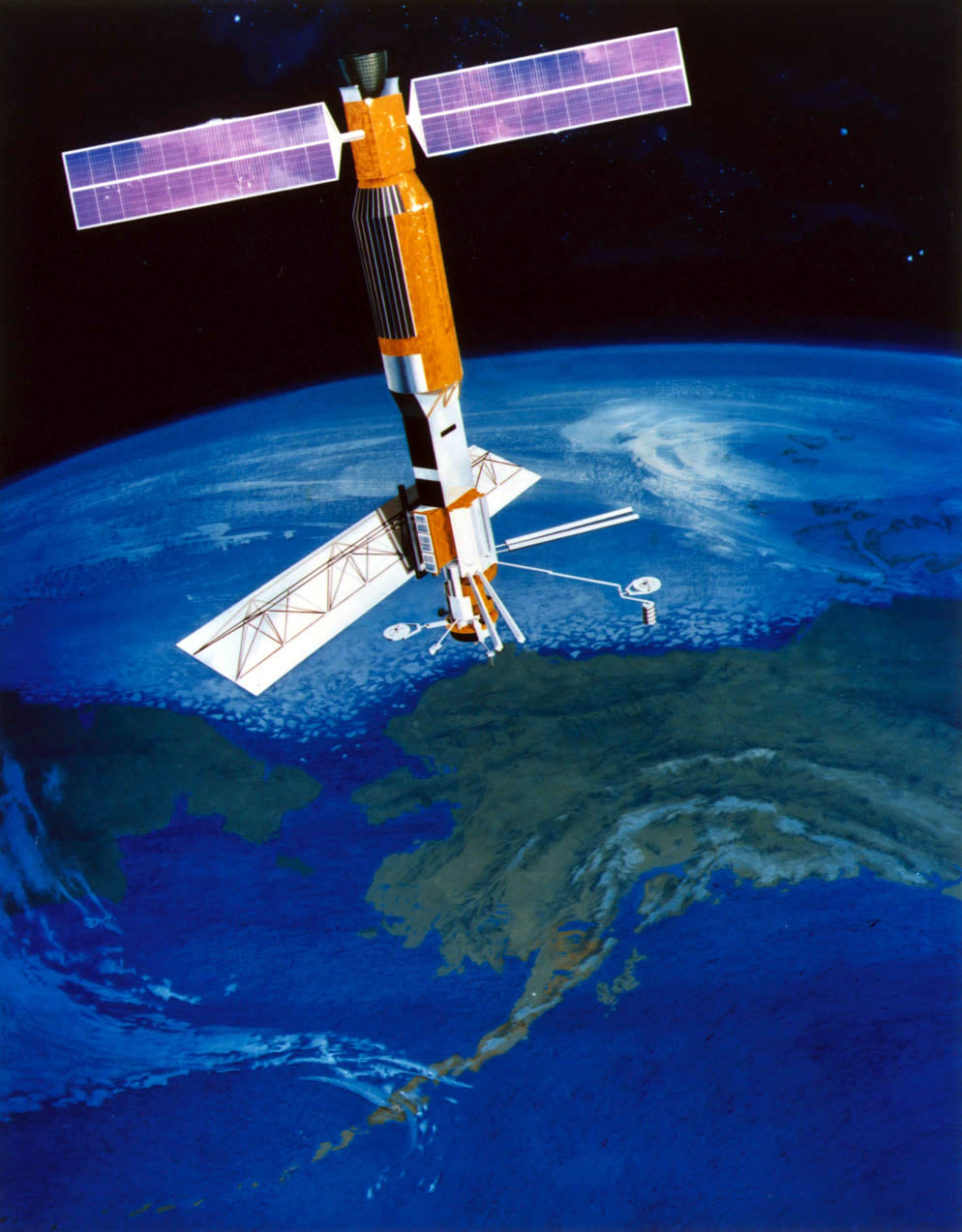
Seasat
Seasat A was the first satellite designed for sensing of the Earth's oceans with active microwave instruments. Specific objectives were to collect data on sea-surface winds, ocean topography, sea-surface temperatures, wave heights, wave length and direction, atmospheric water, and sea ice features. The mission ended after 116 days due to a failure of the vehicle's electric power system.
|
|
The Seasat satellite in orbit
|
|
Global wind speed and direction are
shown in this image using recently processed data acquired in 1978 by Seasat.
The colors represent wind speed and the arrows show wind direction.
HOME NASA-TOPEX MODIS SeaWiFS CZCS OCTS