REMOTE SENSING OF
SANDSTORMS
|
|
REMOTE SENSING OF SANDSTORMS |
|
|
Remote sensing technology is very important in helping to predict natural disasters. Over the past few years remote sensing has been used in the survey of land resources, the monitoring on floods, droughts, wild fires, the exploration of ocean resources and national defense. This web site talks about remote sensing of sandstorms. Sandstorms are natural hazards and they appear all around the world it is important to have accurate and early forecast that's linked to the satellite remote - sensing. This web page contains basic information, images and related links about sandstorms around the world. This web site was created by Laura Bartkute for GGR 910 Remote Sensing, Professor Stephan Young, at Salem State College. |
|
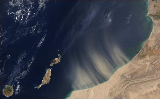
This TOMS image shows a record-setting Asian dust cloud beginning its journey east across the Pacific ocean. Image obtained from the Internet at http://science.nasa.gov/headlines/y2001/ast26jun_1.htm |
|
|
LAST UPDATE FALL 2003 |
|
