![]() Remote Sensing of Hurricanes
Remote Sensing of Hurricanes ![]()
Home Hurricanes GOES Satellites Images Links
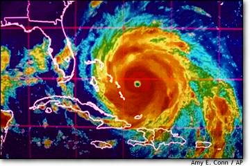
Many people are effected in the United States by hurricanes. The art of remote sensing is an integral part of predicting when and where hurricanes will strike. This website is intended to explain how remote sensing is used with hurricanes. The site will focus how the GOES satellites is used for remote sensing of hurricanes.
This website was produced for Dr. Young's Remote Sensing Class
Salem State College in April of 2002 by Tom Killelea