|
Home
|
|
--------------------------------- |
|
Vegetation |
|
--------------------------------- |
|
Sensors |
|
--------------------------------- |
|
Images |
|
--------------------------------- |
|
Research Links |
|
--------------------------------- |
|
Works Cited |
|
--------------------------------- |
| |
|
|
| |
|
|
| |
|
|
|
|
|
|
|
| Below are a few examples of various imagery
collected from the SPOT-5 satellite. |
| |
 |
|
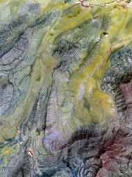
Naples: 5-m panchromatic image draped over 10-m
multispectral image. |
| |
 |
|
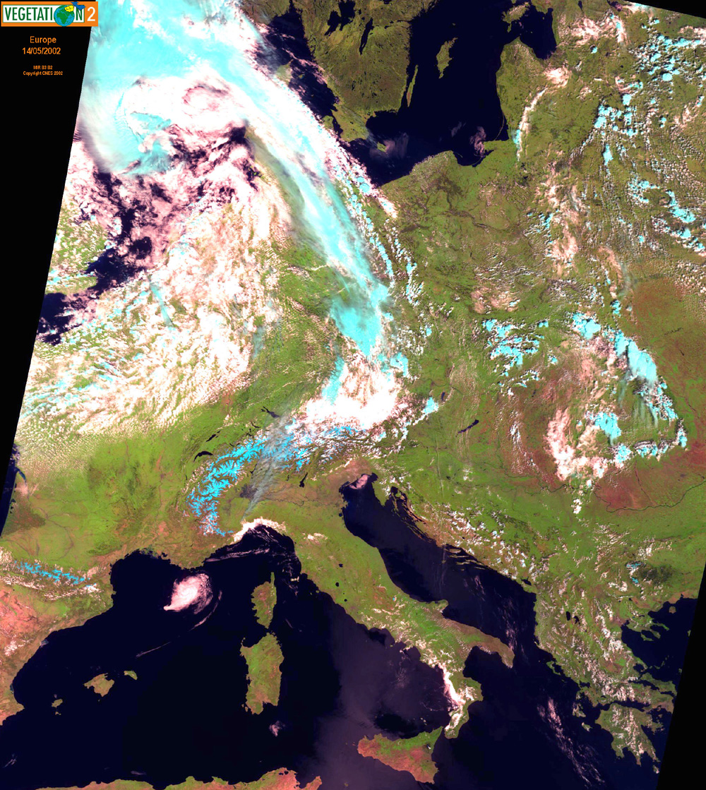
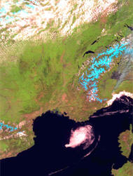
Europe: VEGETATION Imagery. |
| |
 |
|
Algeria: SPOT 5 imagery- multispectral 10 m. |
| |
 |
|
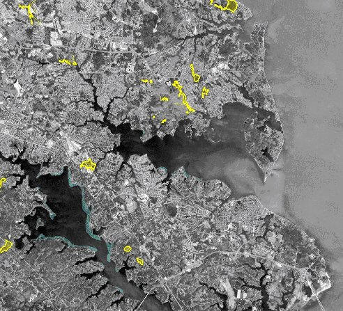
Wetlands of special state
concern (yellow) and submerged aquatic vegetation (green)
displayed on SPOT 10-meter panchromatic image of Chesapeake
Bay area. |
| |
|
Free data can be downloaded at
http://free.vgt.vito.be/
and at
http://www.spot-vegetation.com/. |
|
|