|
Home
|
|
--------------------------------- |
|
Vegetation |
|
--------------------------------- |
|
Sensors |
|
--------------------------------- |
|
Images |
|
--------------------------------- |
|
Research Links |
|
--------------------------------- |
|
Works Cited |
|
--------------------------------- |
| |
|
|
| |
|
|
| |
|
|
|
|
|
|
 |
| |
| |
|
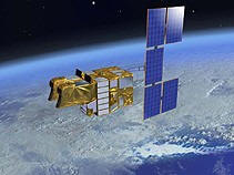
Remote sensing can be used for various applications.
In this case the SPOT satellite system is used for
vegetation monitoring that include other applications as
well. The main focus of this website is how the SPOT
satellites are used for agricultural applications using
VEGETATION . |
| |
|
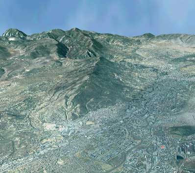
One example of an application that SPOT is used for is the
acquisition of "stereo-imagery", which digital elevation
models can be derived from. Below is an example of
SPOT imagery laid over a digital elevation model (3D). |
|
 |
| |
| |
| |
| |
| |
| |
| |
|
Cody LaVack |
|
Salem State College,
MS in Geo-Information Science |
|
Professor S. Young GPH 909 Remote Sensing |
|
Last modified: October 23, 2010 |
|
|