
|
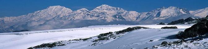
Glaciers Monitoring and Early Warning System Remote Sensing Perspective |
|
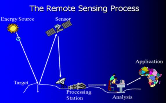
Remote sensing is the science and art of acquire information about objects, areas, or phenomenon through the recording instruments such as cameras, scanners, lasers, linear arrays located on platforms such as aircraft or spacecrafts, without coming into physical contact with the objects, areas, or phenomena under investigation.
Remote sensing data and methods provide the means to allow glacier changes to be monitored at a global scale, to be analysed rapidly and to store the results and present information to both scientific and popular audiences in a way which was not possible before the digital revolution. Remote sensing of glaciers began with terrestrial and aerial photography during the middle of the 20th century, but today the discipline embraces a large variety of data types from laser scanner data to very high resolution satellite imagery, which can be applied to the mapping of glacier changes in terms of area, surface zonation or thickness. (Petri Pellikka et al.,2009).
More about Remote Sensing can be accessed in following links; |
|
Figure6 : Process of Remote Sensing |
|
Design by: Milan Budhathoki, MS Geo-Information Science, Salem State University, Salem, MA m_budhathoki@salemstate.edu Last updated on 22nd November,2010 |
|
Remote Sensing |