
|
Glaciers Monitoring and Early Warning System Remote Sensing Perspective |
|
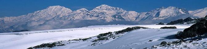
Satellite data are an important resource for global-scale glacier monitoring. They enable the observation of land ice masses over large spatial scales using a globally uniform set of data and methods, and independent of monitoring obstacles on the ground such as access problems and financial limitations on institutional levels. On the other hand, space-aided glacier monitoring relies on a small number of space agencies, the financial resources and political willingness of which are thus crucial for the maintenance of the monitoring system. Typical glaciological parameters that can be observed from space are glacier areas and their changes over time, snow lines, glacier topography and glacier thickness changes, and glacier flow and its changes over time (Kääb ,2005).
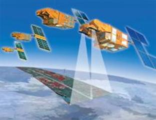
Some of the satellites that are used to acquire information on glacier change is LANDSAT, ASTER, SPOT, MODIS etc. Below are the hyperlink to respective satellite’s website.
Online data access World Glacier Inventory at National Snow and Ice Data Center (Click here..) World Glacier Inventory at World Glacier Monitoring Service (Click here..) Global Land Ice Measurement form Space (Click here….) Global Land Use Facility (Click here….) |
|
Design by: Milan Budhathoki, MS Geo-Information Science, Salem State University, Salem, MA m_budhathoki@salemstate.edu Last updated on 22nd November,2010 |
|
Sensor and Data |


|
Figure7: LANDSAT (Click here..) |
|
Figure8: ASTER ( Click here…) |

|
Figure9:SPOT ( Click here…) |
|
Figure10:MODIS (Click here..) |