
|
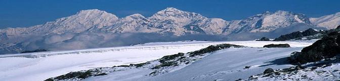
Glaciers Monitoring and Early Warning System Remote Sensing Perspective |
|
This case studied is being taken from the ICIMOD, online resource. This about the monitoring of the glaciers and early warning system. Full report of the case study is available here…
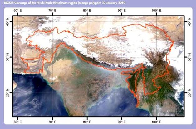
Hindu Kush-Himalayan (HKH) The Hindu Kush-Himalayan (HKH) region extends 3,500 km over all or part of eight countries from Afghanistan in the west to Myanmar in the east of Asia. It is the major source of ten large Asian river systems the Amu Darya, Indus, Ganges, Brahmaputra (Yarlungtsanpo), Irrawaddy, Salween (Nu), Mekong (Lancang), Yangtse (Jinsha), Yellow River (Huanghe), and Tarim (Dayan), - and provides water, ecosystem services, and the basis for livelihoods to a population of around 210.53 million people in the region. The basins of these rivers provide water to 1.3 billion people, a fifth of the world’s population.(ICIMO. The study identified more than 15,003 glaciers within the surveyed area of 33,344 sq.km. The work suggested that the majority of glaciers in the region were in a general condition of retreat, although with some differences in a few basins.
Mapping and monitoring of glaciers has become easier with the advent of more readily available remote sensing data. It is now possible to use state-of the art multi-spectral (optical) satellite image analysis for automated/semi-automated mapping of clean ice or (Ctype) and debris covered (D-type) glaciers in the region. The attribute parameters are for the most part derived from satellite images and digital elevation models using Arc GIS software(Bajrachary et al, 2009)
|
|
Figure11 : MODIS image of HKH region |
|
Design by: Milan Budhathoki, MS Geo-Information Science, Salem State University, Salem, MA m_budhathoki@salemstate.edu Last updated on 22nd November,2010 |
|
Case Study |